The elevation of Machu Picchu is one of the factors that more travelers research before planning their visit to this Wonder of the World. Understanding the different altitudes within this destination is essential for a safe and enjoyable experience, especially since the term “Machu Picchu” can refer to several different locations with varying heights. In this comprehensive guide, we’ll clarify the confusion surrounding the elevation of Machu Picchu and help you prepare for your adventure.
Understanding the Name Confusion: Machu Picchu Pueblo vs. The Citadel
One of the most common sources of confusion among travelers is the use of the name “Machu Picchu” for different places. Let us clarify this important distinction:
Machu Picchu Pueblo (formerly Aguas Calientes) is the small tourist town located at the base of the mountains, serving as the gateway to the archaeological site. Originally called Aguas Calientes due to the natural hot springs flowing through the area, the town was officially renamed Machu Picchu Pueblo in 1941 through Law No. 9396. However, many locals and international visitors still prefer using the name Aguas Calientes to distinguish it clearly from the famous Inca ruins.

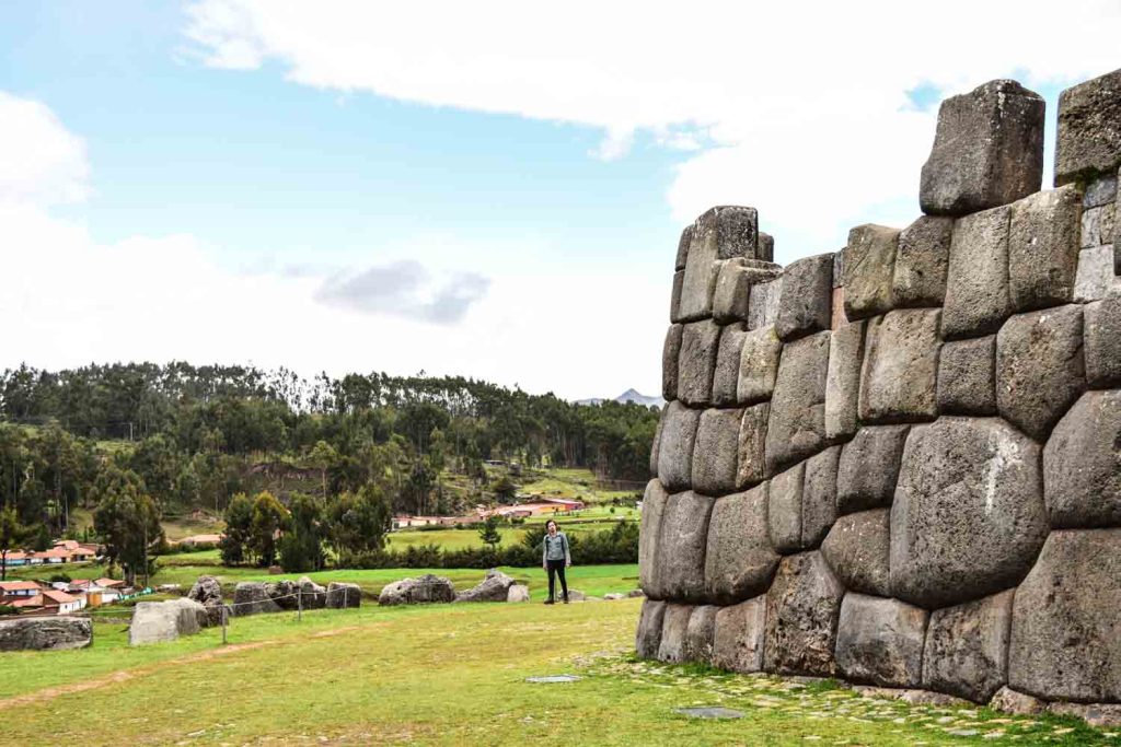
The Citadel of Machu Picchu (La Ciudadela), on the other hand, is the actual archaeological complex built by the Incas in the 15th century during the reign of Pachacútec. This UNESCO World Heritage Site is what most people envision when they think of Machu Picchu – the ancient stone structures, terraces, and temples perched dramatically on a mountain ridge.
The distance between these two locations is approximately 8-9 kilometers, connected by the Hiram Bingham road. The journey takes about 25-30 minutes by bus or 1.5 to 2 hours on foot.
Detailed Altitudes: A Complete Breakdown
Understanding the elevation of Machu Picchu and its surrounding areas will help you plan your acclimatization and physical preparation:
Machu Picchu Pueblo (Aguas Calientes)
- Altitude: 2,080 meters above sea level (6,820 feet)
This charming town sits at a considerably lower elevation than Cusco (3,400 meters), making it a comfortable destination for travelers who are sensitive to altitude sickness. The warm, humid climate typical of the cloud forest region provides pleasant temperatures ranging from 12°C to 25°C throughout the year.
[IMAGEN SUGERIDA: Calle peatonal de Machu Picchu Pueblo con turistas y restaurantes]
The Citadel of Machu Picchu
- Altitude: 2,430 meters above sea level (7,972 feet)
The archaeological complex is built on a saddle between two mountain peaks – Machu Picchu Mountain and Huayna Picchu. The elevation of Machu Picchu citadel places it approximately 390 meters higher than the town below and about 450 meters above the Urubamba River valley. This location offers stunning views while maintaining a manageable altitude for most visitors.
Huayna Picchu Mountain
- Altitude: 2,720 meters above sea level (8,924 feet)
Huayna Picchu is the iconic peak that appears behind the citadel in virtually every classic photograph of Machu Picchu. Climbing this mountain involves an elevation gain of approximately 290-300 meters from the citadel. The ascent takes visitors through steep stone stairs built by the Incas, with some sections requiring the use of hands and fixed ropes for balance.

Machu Picchu Mountain (Montaña Machu Picchu)
- Altitude: 3,051-3,082 meters above sea level (approximately 10,000 feet)
Located directly behind the citadel (when facing Huayna Picchu), Machu Picchu Mountain is the highest point accessible to visitors. The elevation gain from the citadel is approximately 621 meters, making it a more challenging but equally rewarding hike. The trails are wider and less steep than Huayna Picchu, making it a better option for those who experience vertigo.

Comparing the Four Key Elevations
| Location | Altitude (meters) | Altitude (feet) |
|---|---|---|
| Machu Picchu Pueblo | 2,040 m | 6,693 ft |
| Citadel of Machu Picchu | 2,430 m | 7,972 ft |
| Huayna Picchu | 2,720 m | 8,924 ft |
| Machu Picchu Mountain | 3,051 m | 10,007 ft |
The elevation of Machu Picchu citadel is notably lower than the city of Cusco, which sits at approximately 3,400 meters. This means that if you acclimatize properly in Cusco before your visit, you should experience minimal altitude-related discomfort at the archaeological site.
Tips for Managing the Altitude
[IMAGEN SUGERIDA: Turistas caminando por las terrazas de Machu Picchu en un día soleado]
Given the varying elevations within the Machu Picchu complex, here are essential recommendations:
- Acclimatize in Cusco or the Sacred Valley for at least 2-3 days before visiting
- Stay hydrated and avoid alcohol the day before your visit
- Ascend gradually – consider spending a night in Aguas Calientes before climbing to the citadel
- Know your limits – if you plan to climb Huayna Picchu or Machu Picchu Mountain, ensure you’re in good physical condition
- Book mountain tickets in advance – both peaks have limited daily capacity
Final Thoughts
The elevation of Machu Picchu varies significantly depending on which area you’re visiting. From the comfortable 2,040 meters of Machu Picchu Pueblo to the challenging 3,051 meters of Machu Picchu Mountain, understanding these differences is crucial for planning a successful trip. Remember that the citadel itself sits at a moderate 2,430 meters – high enough to feel the thin air but manageable for most travelers who have properly acclimatized.
Whether you’re content with exploring the magnificent Inca citadel or eager to conquer the surrounding peaks, being informed about the elevation of Machu Picchu will help you make the most of this once-in-a-lifetime experience.
Planning your trip to Machu Picchu? Contact Neotropic Peru for personalized assistance and expert guidance on visiting this Wonder of the World.